How to reach Yaxha national park (and Topoxte Island, etc.)
I would like to prepare a complete how-to discussion of how to reach Yaxha from Mexico, from Belize, from Honduras, and from Guatemala City. As soon as COVID quiets down, and as soon as getting back to the beautiful Parque Nacional Yaxha Nakum Naranjo is realistic, we would like to help everyone by preparing a total travel diary. But in the meantime, from my home office in USA, this webpage offers some basics.
In a future PDF version, we would add maps of each area, street maps of each town and city, etc. But you already have Google maps on your iPhone or iPad or comparable, so to begin I wanted to indicate clearly with this initial webpage that “you can get to Yaxha from every other major tourist destination.”
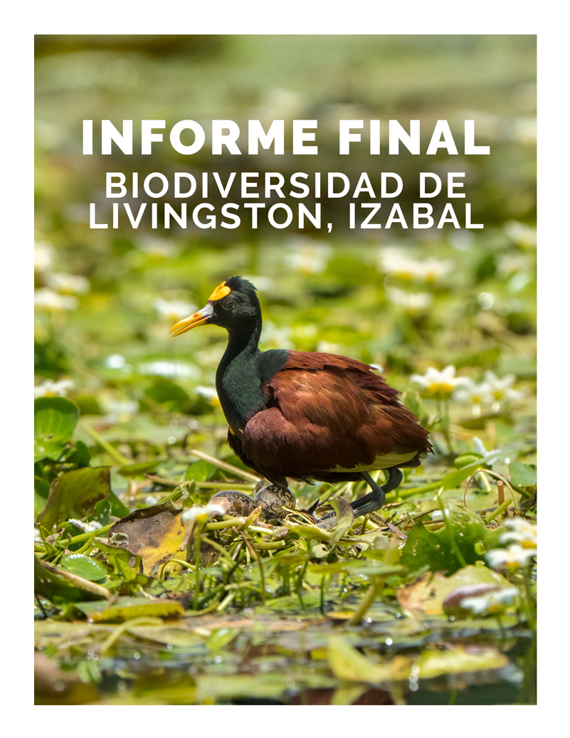
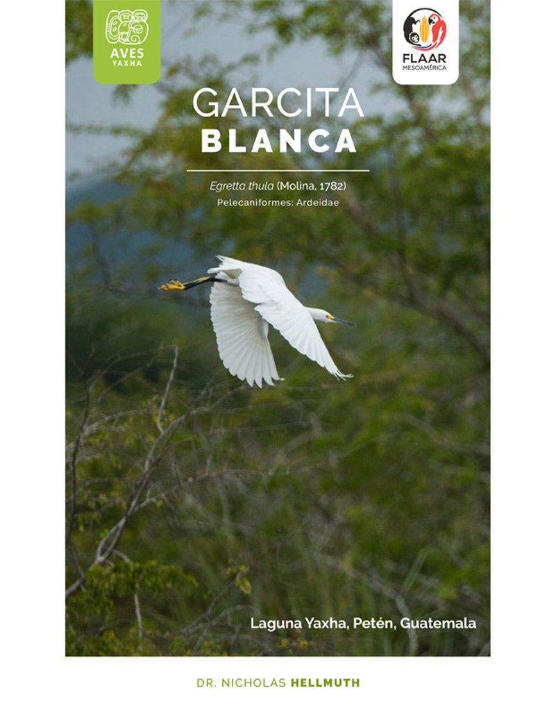
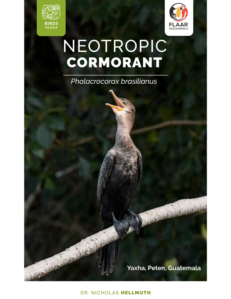
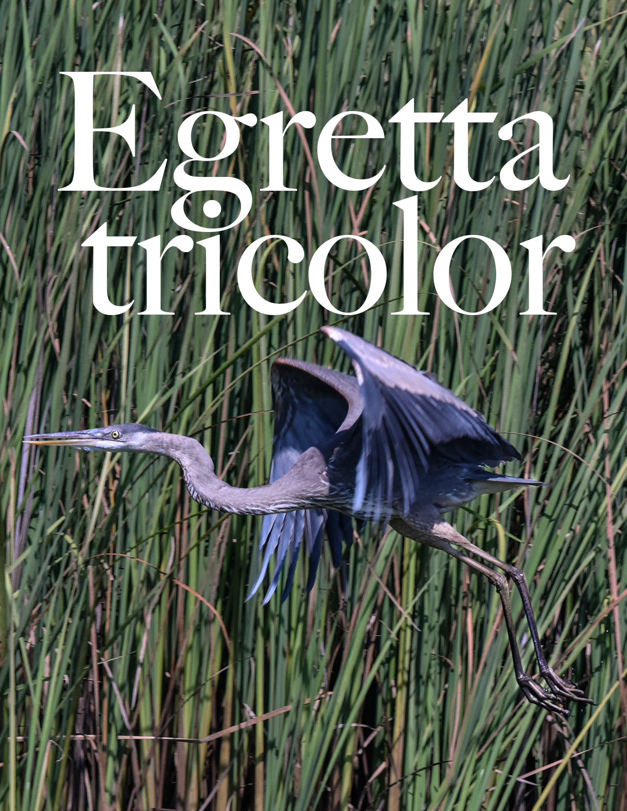
Yaxha offers waterbird paradise: wading birds, diving bird, shore birds.
|
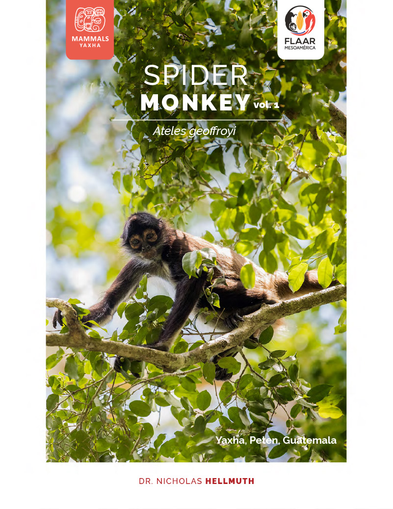
Yaxha (and Topoxte Island) have howler monkeys, spider monkeys, toucans, butterflys all over the place waiting for you.
Cute friendly foxes pose for you as they hike around the plazas. They even climb up on top of the buildings sometimes.
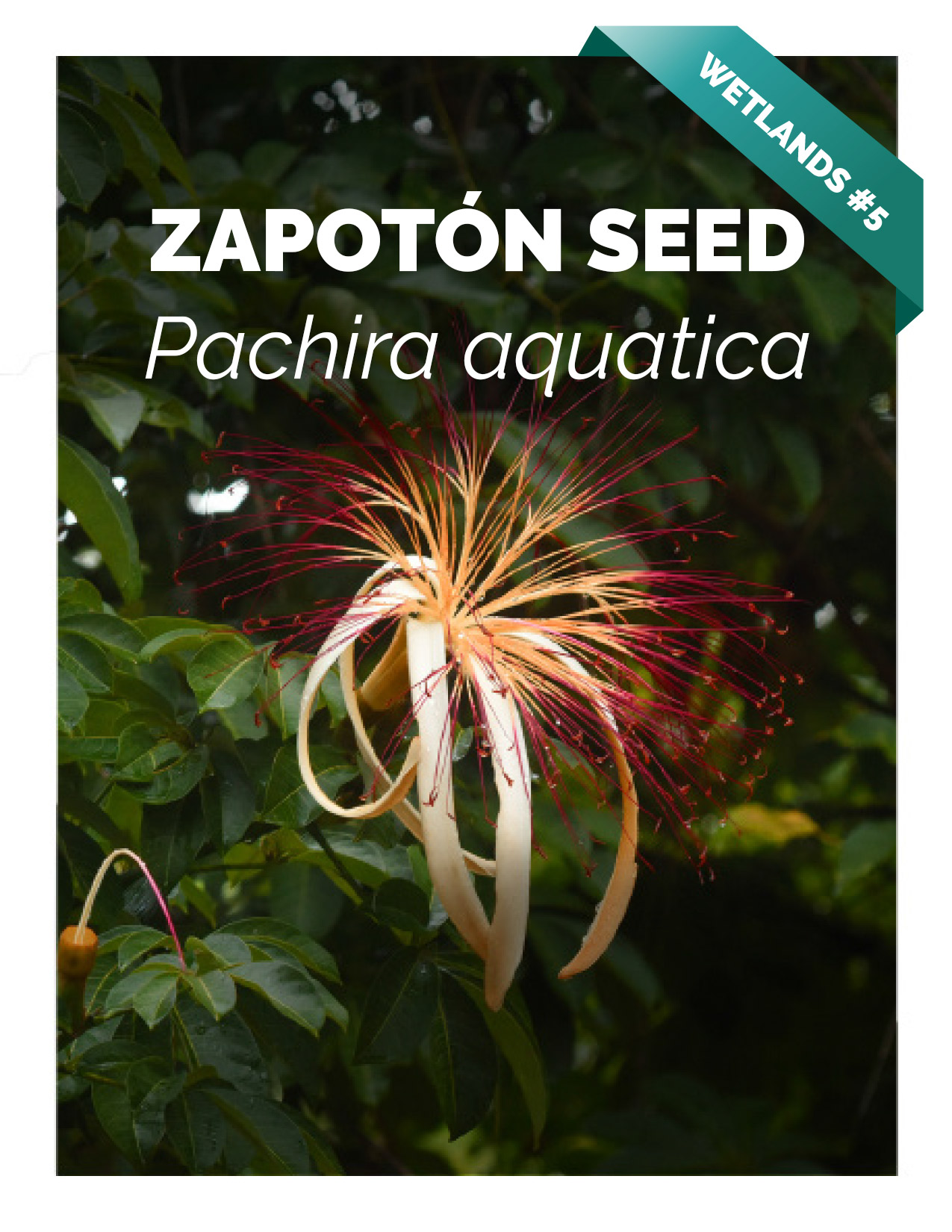
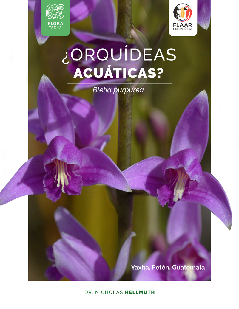
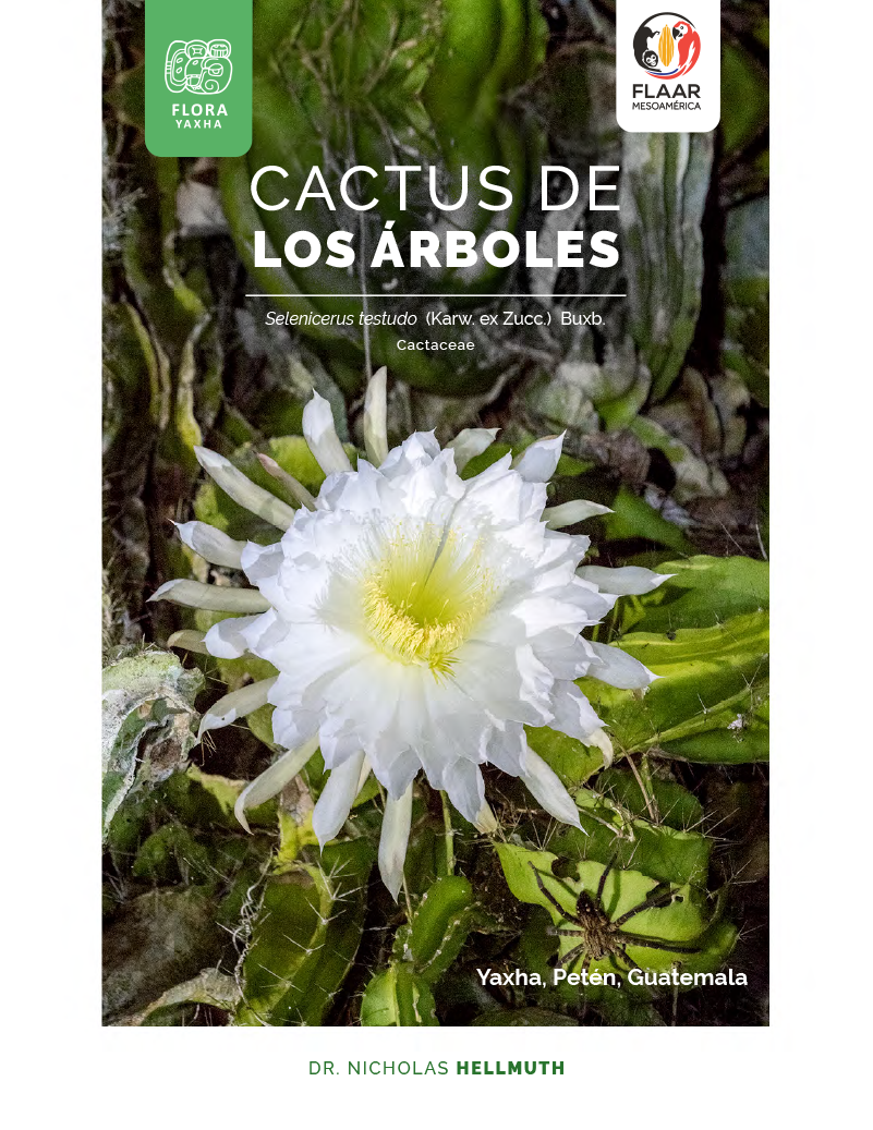
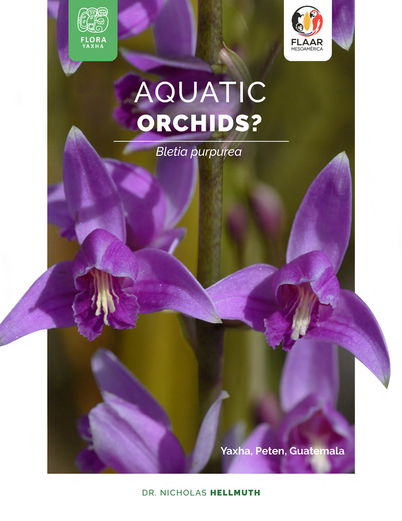
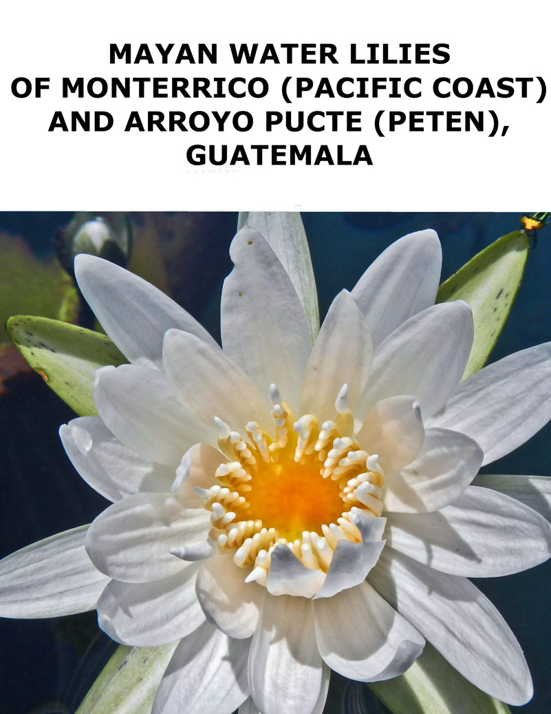
Flowers of every size, shape, and color: orchids, bromeliads, arboreal cacti. We found more different passionflower species of vines flowering here then any other area in Guatemala.
| Information on how to get to Nakum we will provide as soon as it is feasible to return. The Nakum ruins are impressive and very different than Yaxha. |
| Same with Naranjo ruins; this site has raised palace acropolises and throne rooms that match the palaces of Tikal. We will provide maps and tips on how to get to Naranjo as soon as getting there again is feasible. |
If you are in Guatemala City there are two routes to Peten area (to reach Yaxha):
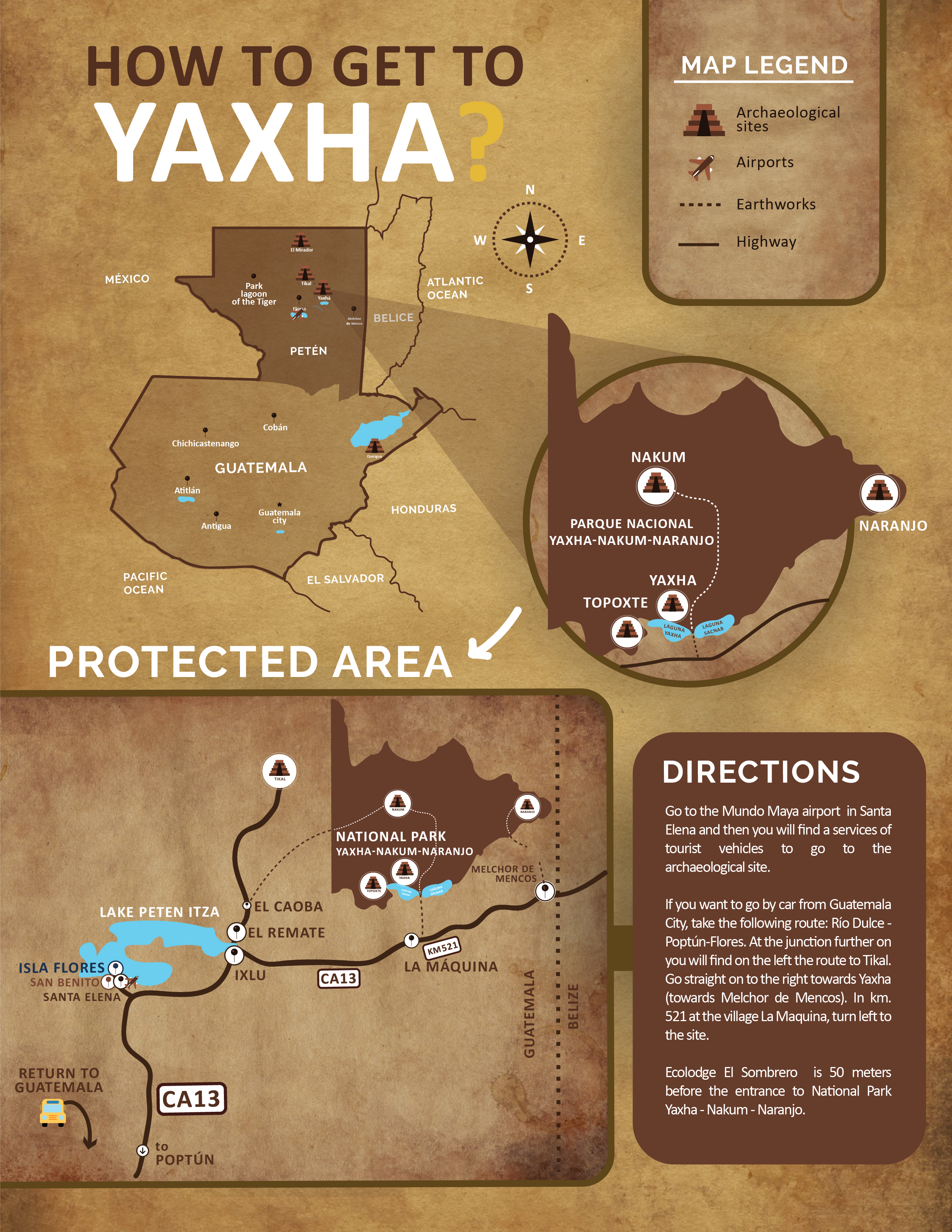
Guatemala City-Rio Dulce-Poptun-Flores (Santa Elena, San Benito)-Yaxha intersection (near La Maquina) or Guatemala-El Rancho-Coban (Alta Verapaz)-Sayaxche (Peten)-La Libertad-Flores (Santa Elena, San Benito)-Yaxha intersection (near La Maquina).
The traditional route from Guatemala City to Yaxha is via Rio Dulce and Poptun. There are hotels every hour along the entire route.
At Yaxha itself we like to stay in the hotel Ecolodge El Sombrero, on Lake Yaxha within a few meters of the entrance to the park.
However the route through Alta Verapaz is very beautiful. Plenty of hotels en route: in the Quetzal area, in Tactic; lots of hotels in Coban, several in Sayaxche (which is on the Rio de la Pasion). You would want to stay overnight en route on this route because it’s safer to drive in the daytime in case you get a flat tire or get lost at night.
Downside of the scenic route via Alta Verapaz is that not many buses from Coban direct all the way to Santa Elena/San Benito/Flores. You may have to change in Sayaxche or Chisec.
Getting to Yaxha from Palenque, Chiapas, Mexico
If you are visiting Palenque, you can get to Yaxha by two routes: via El Cebo towards La Libertad then to Flores or via crossing the Rio Usumacinta from Frontera Corozal to Bethel then to near Subin, to La Libertad then Flores.
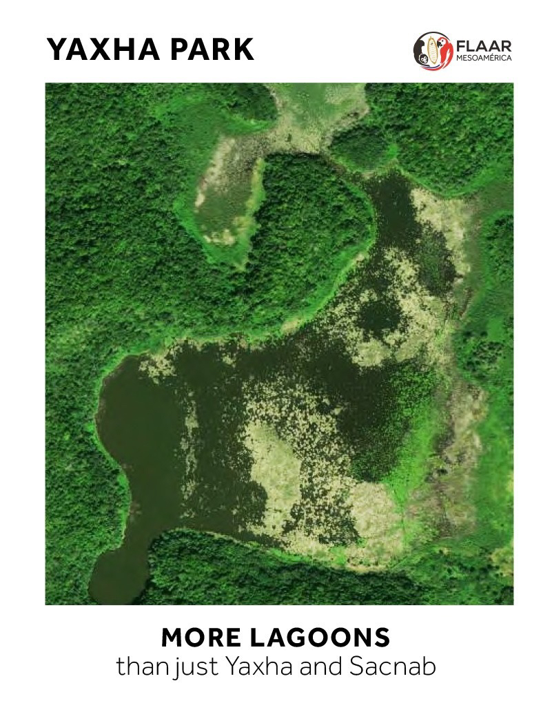
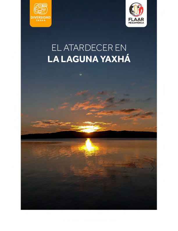
From Lake Peten Itza it is about an hour+ to Lake Yaxha. (ps, Lake Yaxha is a total jungle covered lake, completely rain forest, vines, flowers, awesome trees).
Palenque to Flores, Via El Ceibo (border town)
Palenque to Tenosique, Tenosique to El Ceibo (Guatemalan border town).
Guatemalan highway “PET-13” goes from the Mexico-Guatemala border town of El Ceibo, passes south of El Naranjo (on Rio San Pedro) (does not go up to the actual town) goes through La Libertad then to San Benito-Santa Elena-Flores (from where you can drive or take bus towards Belize but turn north to Yaxha after La Maquina, a few dozen kilometers before Belize).
If on a through vehicle or shuttle, you would not enter El Naranjo; if on chicken bus, they tend to enter every town before they continue to where you really want to get.
Palenque-Rio Usumacinta-El Subin-La Libertad-Flores
Palenque to Frontera Corozal (Chiapas side of border) via Mexican highway 198. From Frontera Corozal you can take a boat ride back-and-forth to experience Yaxchilan Mayan ruins; then continue across the river from Frontera Corozal to the Guatemalan side (town here is named Bethel). From Bethel the road runs parallel to the Rio Usumacinta then inland parallel to a smaller stream named Subin to La Libertad to Flores.
I first experienced the Guatemalan side of this circa 1964 or 1965: Tikal to Sayaxche via a canoe down the Subin “creek.” In that decade there was no highway from Subin to Sayaxche. I visited Palenque first in 1961 (I was supposed to fly from Teapa, Tabasco, but missed the 4-passenger plane so took a bus or train from Villahermosa to Teapa then by train to somewhere near Palenque and then a pickup truck drove me to last few kilometers to Palenque; hotel cost 50 cents a night in that era). I wrote my high school thesis on this adventure of learning about Mayan archaeology at Palenque, won 1st prize for class thesis, and this helped get me into Harvard (I definitely was not #1 in my class, nor #2 or #3; but instead of playing tennis or golf in the summer, or instead of traveling to Paris, London, etc, I explored Olmec culture in the Olmec museum in Villahermosa then went to Palenque at age 16, by myself). I was at Bonampak by age 17, as a student intern helping the archaeologists there. At age 18 the Tikal Project team noticed that I kept visiting Tikal for many days at a time so they asked me if I could return and work with them an entire year: so at age 19 I was a surveyor, mapper, and architectural recorder in the north back side of the North Acropolis and south side of the East Plaza (the east side of the North Acropolis). Within 9 years I was mapping the entire ancient Mayan city of Yaxha, together with experienced Miguel Orrego, one of many Guatemalan archaeologists that I had met while they also worked at Tikal in the 1960’s. Now, many decades later, in a cooperative project with the PNYNN co-administrators, was back at Yaxha, Nakum, and Naranjo working on the flora and fauna of this impressive national park. We were at Yaxha every month for several days and each month, with the help of the knowledgeable local park rangers, and with our team of Q’eqchi’ Mayan assistants, we find new plants that have not been photographed or recorded for this specific area. Plus the waterbirds around the lake are very photogenic: my favorite by far is the boat-billed heron and the “snake bird” (Anhinga anhinga). |
The Long Route from Palenque via Belize to Guatemala (by public bus or vehicle)
Palenque to Tenosique then across all Campeche and Quintana Roo to Chetumal; then down to Belize City and west to Guatemala border down Melchor de Mencos. This is a looong way. This route can also be driven (which I have done many times in the 1970’s, 1980’s, and 1990’s).
But nowadays most backpackers will go from Palenque to Guatemala directly via Tenosique or via the Rio Usumacinta crossing (see previous info paragraphs).
If you are visiting Yucatan (Chichen Itza, Uxmal, etc), or if visiting Cancun, Yaxha can also be reached
There are (or were) flights from this part of Mexico to Flores, Peten, Guatemala.
“Flores” is the island in Lake Peten Itza (where Hernan Cortes and Bernal Diaz del Castillo found the Yucatec Itzae people (originally from Chichen Itza area of Yucatan, but who had fled to Peten, Guatemala because their king abducted the princess of a rival king (on her wedding day to him!). So the Post Classic Maya city of Tayasal was in this area. Santa Elena is 5 minutes away, on the mainland; the airport is here is today named Mundo Maya International Airport, in past decades it was called the Flores International Airport (but still today it is usually called “the Flores airport” because Flores is the capital of the municipio and capital of the departamento). Code name for this airport is FRS. San Benito is physically next to Santa Elena (the two are all the same area, but each has different name). Most buses leave from the San Benito market area. But several 1st class buses also make a stop on the south part of the island of Flores. |
Or you can drive from Chichen Itza, Uxmal or Cancun to Chetumal (Quintana Roo), then through Belize and from Belize City to the Guatemalan border down of Melchor de Mencos. From Melchor it’s less than an hour to the turnoff north to Yaxha.
If you are in Belize: How to reach Yaxha?
By car just drive from Belize City to the Guatemalan border town of Melchor de Mencos. From there you can drive to La Maquina, the small aldea at the turnoff to Yaxha.
Whether there are planes from Belize to Flores you will need to check. Remember, “Flores” is the island; the airport is on the mainland (Santa Elena). The adjacent part of the metropolitan area is San Benito (where the main market and main bus stations are).
If you are in Honduras visiting Copan Ruinas, you can also get to Yaxha
Copan Ruinas (Honduras) to the border with Guatemala (highway CA11). You can do this in less than half an hour.
After you cross the border, continue on CA11 to Camotan. If driving you will not go through Jocotan; if on public bus it will probably go into Jocotan then turn around and continue past San Juan Ermita to the main highway, CA10.
Take CA10 through Chiquimula past Zacapa (if driving you do not need to cross the river into Zacapa; continue past Estanzuela (again, if driving you stay on main highway CA10 and do not enter the center of Estanzuela)).
At Rio Hondo take a right turn onto CA9 towards the northeast. You pass the turnoff to Quirigua and eventually get to main turn off: straight ahead is Puerto Barrios; to left is towards Flores (Tikal will also be on the sign).
After crossing the Rio Dulce bridge, in a few hours you pass Poptun and then in another two hours you are in Flores (Santa Elena and San Benito are all on the mainland adjacent to the island of Flores).
Or you can drive straight to Yaxha (take the main highway to the right (east) towards Melchor de Mencos (Guatemalan side of Belize border). At km 521 (in the aldea of La Maquina) turn north to the Parque Nacional Yaxha Nakum Naranjo. Its about 11 km from the turnoff to the ruins.
In the rainy season a 4WD is helpful for these final 11 km, but most people go in whatever vehicle they have available. In other words, you can reach Yaxha without 4WD. Once I have walked from the crossroads this 11 km to the lake and then two or three kilometers to our camp (at age circa 25). |
If taking a bus from Copan…
There is transportation from Copan to the border and from border to Chiquimula. From there it is hopping from one town to another (unless there is a shuttle from Copan to Flores or Copan to Tikal). I have taken the shuttle back and forth several times, driving dozens of times. In the 1960’s I rode on the top of a cargo in a cargo truck from Chiquimula to Copan, and another cargo truck back, since there were no buses for border crossing area.
How to Get to Yaxha from San Cristobal de las Casas, Chiapas
I always entered Guatemala from San Cristobal de las Casas while I was a backpacker in the late 1960’s. When driving I usually drove via the coastal route (so via Tapachula, so I could visit the proto-Classic Mayan-related ruins of Izapa and learn about cacao trees and chocolate production). But if you are a backpacker you will tend to enter Guatemala from San Cristobal de las Casas.
Once you are in Guatemala City, there are several bus companies with 1st class buses direct from Guatemala City to Flores (Peten). From Flores follow the tips provided elsewhere in this report.
Lots of places to find breakfast and almuerzo at Yaxha (and dinner)
For backpackers there are thatch-covered places for your tent or hammock (with a view of Lake Yaxha). There are local places to eat, or if you have a vehicle or tour guide, you would tend to consider having a meal at hotel Ecolodge El Sombrero.
You can also have a nice meal at the welcoming visitor’s center (but if you need evening meal, check in advance).
There are local people in the Yaxha camp area that can provide good basic meal (about 6 minutes walk from the camping place). Sometimes our team worked so late at night we did not have time to cook our own meals in the kitchen kindly provided so we would make a reservation to hike up the slope to where the local people cook and eat.
Some tour groups come in with their own cooks and equipment and the tour organizer cooks everything for them. So there are many options.
First Posted September 2020

